


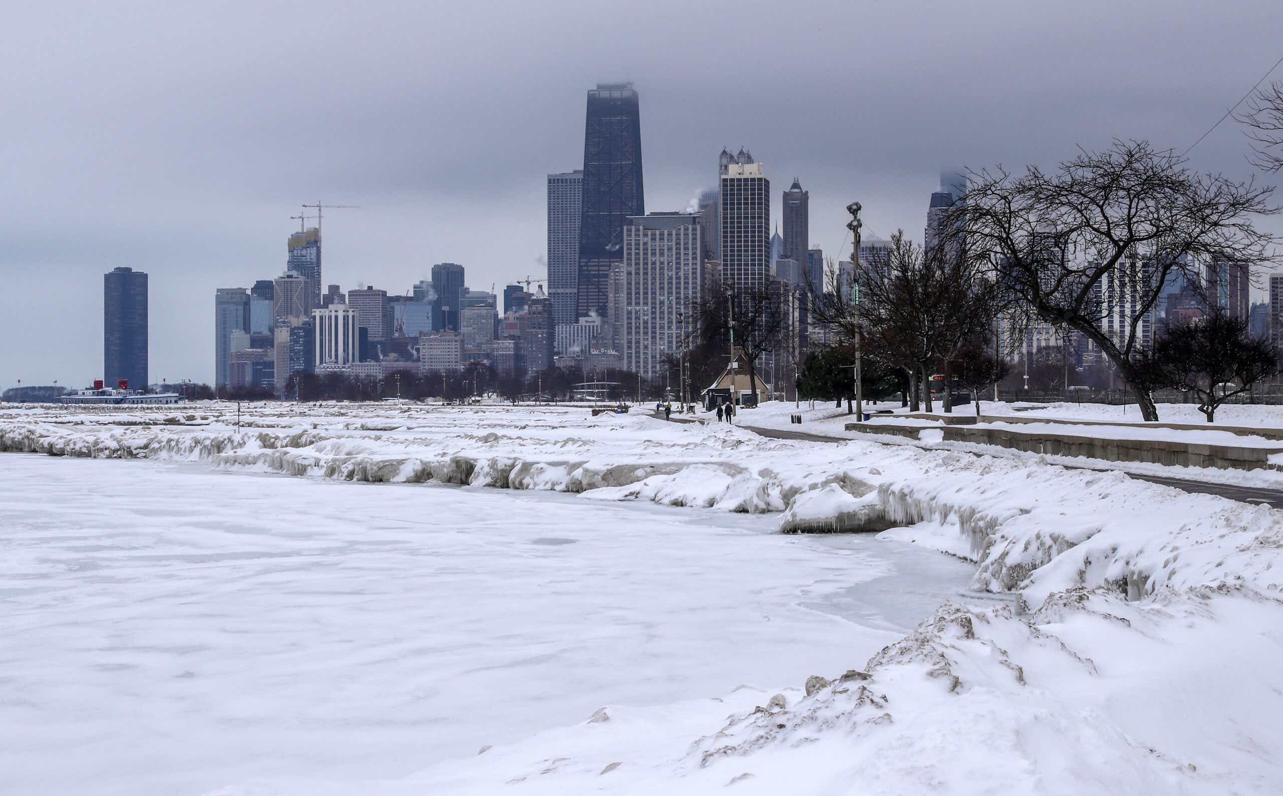
A massive storm system bringing blizzards and freezing winds will sweep across central and northwestern states in the coming days, affecting airport hubs and potentially making holiday travel dangerous. “Combined with wind gusts up to 60 mph, widespread wind chill values could drop to around minus 40 degrees throughout the central and north-central United States,” the Weather Prediction Center said.
Sioux, South Dakota, and Fargo, North Dakota are under wind chill advisories today. In the affected regions, frostbite may appear on exposed skin within 10 minutes — and in some cases, within five minutes. The most snowfall is expected in the higher terrain of the Cascades and into northern Idaho, northwest Montana, and western Wyoming.
"Starting tonight, the worst of the arctic air mass will reach our area, bringing dangerous temperatures and wind chills," the weather service office in Glasgow, Montana, said late December 19. "Slippery roads will continue with additional accumulating snow expected Tuesday afternoon through Wednesday morning."
Seattle is under a winter storm warning as of today, and snowfall has already begun. A behemoth winter storm is expected to form and pass over parts of the Midwest, Central Appalachians, eastern Great Lakes, Mid-Atlantic and Northeast over the coming days. The wind, rain, snow, and blizzards it brings with it are expected to make holiday travel dangerous.
"Snowfall amounts with this system are not expected to be that impressive until an area of low-pressure forms along the front, rapidly strengthens, and races towards the Great Lakes," the Weather Prediction Center says. "Greatest chances for over 8 inches of snow is found across states that surround Lake Michigan. It is this area that is expected to receive the longest duration of snowfall and within a very cold airmass."

Low visibility is expected to exacerbate the hazardous conditions on snowy roads, and strong winds may cause power outages from the Midwest to the Northeast. The central and eastern U.S. won't get off easy either — a shock of arctic air is set to see temperatures plummet far below the norm for this time of the year.
"Along with the snowfall, very strong winds are expected to impact nearly the entire eastern half of the U.S. as this large system becomes fully mature by Thursday night," the Weather Prediction Center adds. "Winds will create blizzard conditions throughout the central/northern Plains, Upper Midwest, and Great Lakes as well as blowing and drifting snow over locations with fresh snow cover."
Until then, the unsettled weather in the southeast is likely to see moderate to heavy rain in some areas.