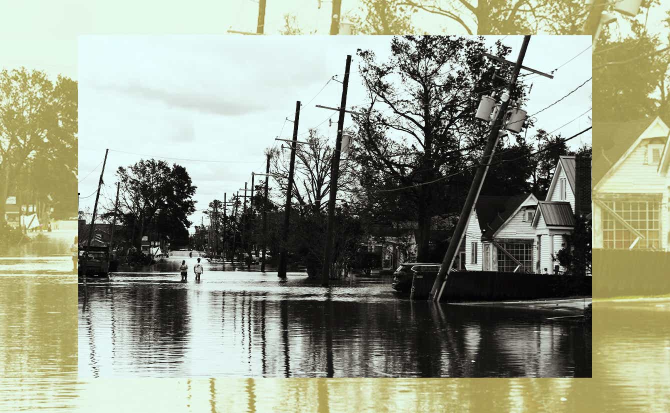
Rescue efforts are underway after Hurricane Ida left catastrophic damage in parts of Louisiana and Mississippi. Two people are dead and 10 more are injured after a Mississippi highway was washed away by heavy rain.
It may take weeks to restore electricity to New Orleans, and deaths are expected to spike with 911 lines down. While levees in New Orleans appear to have withstood a dramatic test, the hurricane reduced some buildings to rubble, and the American Red Cross has set up 50 shelters in affected areas across the Gulf Coast for those who lost their homes.
"We're providing any help that you're going to need,” President Biden said in a meeting on Monday with Louisiana Gov. John Bel Edwards.
Though it has since been downgraded to a tropical depression, Ida’s rapid development raises vital questions about the role global warming has to play.
How does climate change worsen hurricanes?
It happens in several ways, climate scientist Radley Horton told us. For one thing, rising sea levels lead to storms flooding a larger area “with deeper and thus more damaging and deadly water.” Plus, a warmer atmosphere can hold more moisture, meaning heavier rain when a storm comes through.
Though scientists can’t say the frequency of tropical cyclones like Ida (which made landfall as a Category 4 storm) are increasing, a major United Nations report earlier this month found that hurricanes are growing stronger and producing more rain as global temperatures rise and warm oceans. "We've found that Category 4 and 5 hurricanes almost never form when sea surface temperatures are below 82 degrees Fahrenheit or so," said Zeke Hausfather, one of that UN report's co-authors.
Climate change is also behind other extreme weather events, like a deadly combination of heat and humidity. We’ve got a full report on how those brutal conditions affect our bodies — and what we can do about it.
Where’s Ida headed next?
The storm is expected to move inland towards central Tennessee today. Along its path, it could bring more flooding and even some tornadoes.
Worried you might be in its path? You can check the storm’s movement here.


